
At a glance
The Les Gets tourist office lists 14 waymarked summer walks on the Chavannes and Mont Chéry slopes, graded green, blue or red. Nine of them are documented here with start point, distance and climbing, from the Peat Bog Trail (2.7 km) to the Grand Tour du Mont Chéry (14.6 km, 460 m of climbing). Several start at the top of a lift, open to foot passengers with the Multi Pass.
- 14Waymarked summer walks
Source - Grand Tour du Mont Chéry, 14.6 kmLongest documented walk
Source - 2 lines, 8.45am – 6.55pmSummer shuttle buses
Source
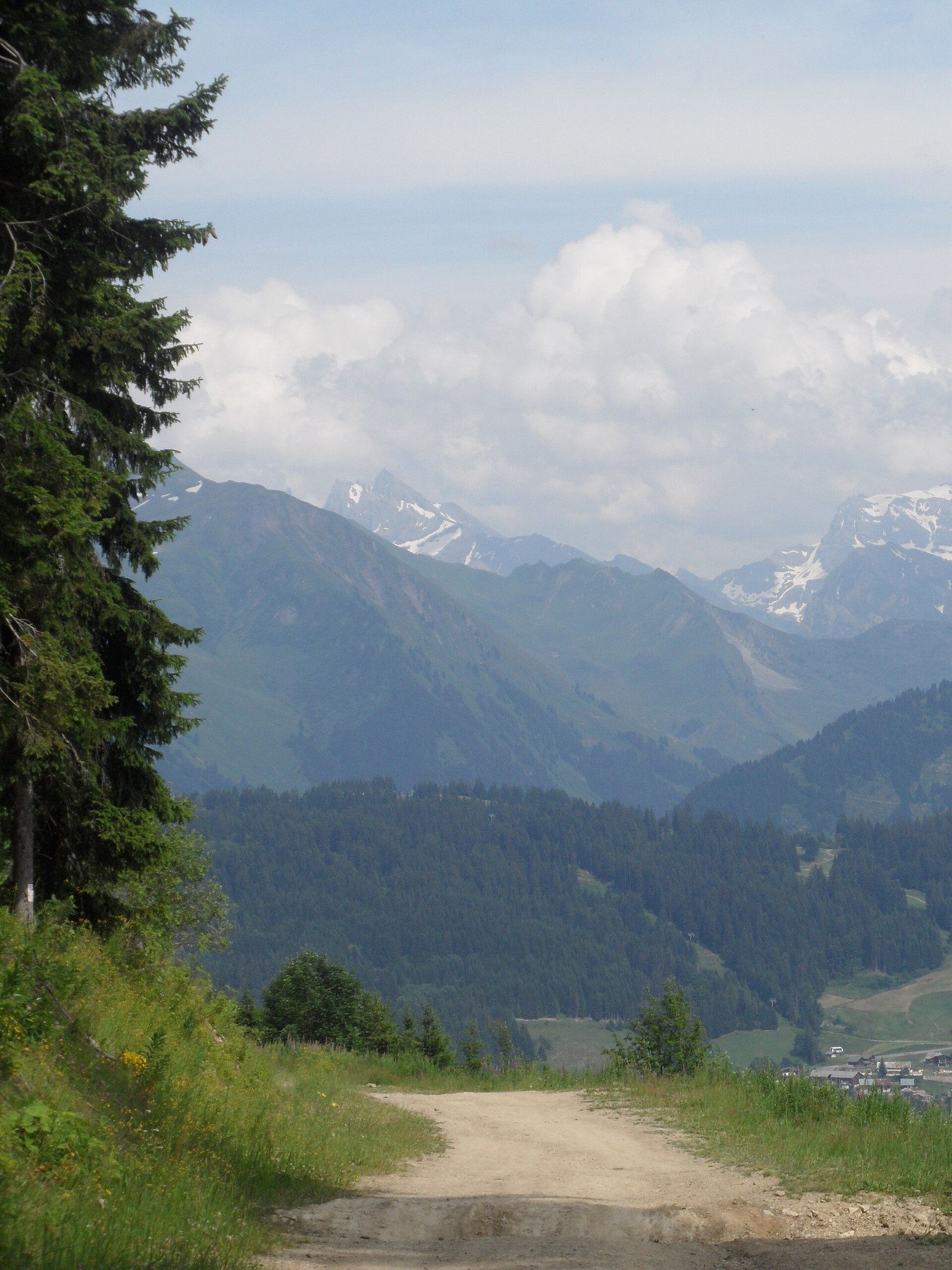
Walking is the easiest way to enjoy the great outdoors in Les Gets in summer. The tourist office has waymarked 14 walks, 9 on the Chavannes side and 5 on the Mont Chéry side, colour-graded by difficulty: green, blue, red. This page details the nine trails for which the tourist office publishes a full description.
The documented official trails
| Trail | Start | Distance | Climbing | Grade (tourist office) | Published time |
|---|---|---|---|---|---|
| Grand Tour du Mont Chéry (+ variant) | Tourist office | 14.6 km | 460 m | Red, difficult | 5 h |
| Crests of Mont Chéry (+ variant) | Belvédère station, top of the Mont Chéry gondola | 6.5 km | 370 m | Blue, intermediate | — |
| Planets Trail / Sentier des Planètes (+ variant) | Top of the Mont Chéry gondola | 5.6 km | 138 m | Green, easy, family | — |
| The other side of Mont Chéry | Les Places car park | 8.5 km | 375 m | Blue | — |
| Lassare | Top of the Mont Chéry gondola, down to the village | 4.5 km | 11 m | Green, easy to intermediate | — |
| Rosta ridges (+ variant) | Top of the Chavannes Express chairlift | 9.5 km | 140 m | Blue | 2 h 45 |
| La Croix de Nabor | Top of the Chavannes Express chairlift | 6 km | 90 m | Green / blue | — |
| Tadpole Trail / Sentier des Têtards | Chavannes massif, towards La Mouille au Blé (downhill) | 3 km | 70 m | Green, very easy, all-terrain buggy | — |
| Peat Bog Trail / Sentier de la Tourbière | Tourist office | 2.7 km | 82 m | Green, very easy, family | — |
The tourist office only publishes a walking time for two trails, and we do not add any others. Allow plenty of time for your own pace, stops and children’s ages. The other five walks and the variants are on the official summer walks page; the tourist office FAQ also mentions the Dérêches trail, flat and shaded.
Choosing your walk
With children
Three trails are graded green and suit children: the Peat Bog Trail, starting right at the tourist office, the Tadpole Trail, suitable for all-terrain buggies, and the Planets Trail, at the top of Mont Chéry. Lassare is green too, but it runs down to the village from the top of the gondola, so plan how you will get back.
For a half-day
The Rosta ridges (9.5 km, 140 m of climbing, 2 h 45 according to the tourist office) and La Croix de Nabor (6 km, 90 m) both start at the top of the Chavannes Express: you get the ridge views without the climb. The other side of Mont Chéry (8.5 km, 375 m) starts from Les Places car park.
For fit walkers
The Grand Tour du Mont Chéry is the only red-graded walk among those documented: 14.6 km, 460 m of climbing, about 5 hours, starting from the tourist office. The Crests of Mont Chéry (6.5 km, 370 m) are a shorter option starting from the top of the gondola.
Using the lifts
Several walks start at the top of a lift. In summer 2026, foot-passenger access was as follows:
- Mont Chéry gondola: open to foot passengers;
- La Pointe chairlift: foot passengers only;
- Chavannes chairlift: foot passengers uphill only;
- Nauchets chairlift: bikes only, closed to foot passengers.
The Multi Pass Portes du Soleil includes foot-passenger access to the Mont Chéry gondola and the La Pointe and Chavannes chairlifts, according to the tourist office. In 2026, the Chéry lifts ran from 19 June to 30 August: outside that window, walks starting from the top of Mont Chéry mean climbing up on foot. Summer 2027 dates had not been published as of 9 November 2026; check the summer lift calendar.
To reach trailheads without a car, the town hall lists two free shuttle bus lines in summer, from 8.45am to 6.55pm.
Mountain safety
This is general advice; it does not replace the tourist office’s word on trail conditions.
- Check the weather before setting off: a summer thunderstorm can build quickly in the mountains. The tourist office advises staying away from metal lift structures during storms.
- Stay on waymarked paths and respect pastures, fences and livestock.
- Carry water, a warm waterproof layer, sun protection and a charged phone.
- Tell someone your route if you go alone.
- Check the time of the last lift if your return depends on it.
- In an emergency, dial 112.
We only describe trails documented by the tourist office. Other summits nearby (Ranfoilly, Col de l’Encrenaz, Pointe de Nyon) are not among its official summer walks; ask the tourist office or a mountain leader before heading there.
And in winter?
When the snow arrives, the tourist office offers groomed walking trails (La Mouille Ronde, Lassare, Le Pleney, Mont Caly, Le Bouchet, Nauchets viewpoint) and snowshoe trails (the far side of Mont Chéry, Tour du Golf, Les Cornuts via the Col de Lachat). Distances are not published. Before setting off, see our weather, webcams and snow page.
Frequently asked questions
What is the easiest walk in Les Gets?
Among the official walks, the Peat Bog Trail (2.7 km, 82 m of climbing, starting from the tourist office) and the Tadpole Trail (3 km, 70 m, suitable for all-terrain buggies) are graded very easy.
Can I walk up Mont Chéry without taking a lift?
The Grand Tour du Mont Chéry starts from the tourist office (14.6 km, 460 m of climbing, about 5 hours). For the other Mont Chéry walks, the tourist office gives the top of the gondola as the start point; the gondola carries foot passengers in summer.
Where can I walk in Les Gets in winter?
The tourist office offers groomed walking trails (La Mouille Ronde, Lassare, Le Pleney, Mont Caly, Le Bouchet, Nauchets viewpoint) and snowshoe trails (the far side of Mont Chéry, Tour du Golf, Les Cornuts via the Col de Lachat). Distances are not published.
Read next
- Lac des Écoles — Lac des Écoles in Les Gets: lifeguarded swimming, the Wibit water park, site rules, Multi Pass access, Alta Lumina in winter and water quality to check.
- Golf — Les Gets golf course: 18 holes, par 70, 5,156 m at 1,430 m altitude, free-access practice area, June to October season, access and tee-time booking.
- Summer activities — Summer in Les Gets with children: Lac des Écoles and the Wibit, the all-season toboggan, Perrières Aventures, the bike park Kid Zone, easy walks, golf and the Multi Pass.
- Weather and webcams — Les Gets webcams, weather and snow: where to find official images and reports, the altitude of each viewpoint, and how to read a mountain forecast.
Sources and checks
Information checked on · Updated 9 November 2026
- Les Gets tourist office — summer walks (accessed 9 November 2026)
- Les Gets tourist office — Grand Tour du Mont Chéry (accessed 9 November 2026)
- Les Gets tourist office — crests of Mont Chéry (accessed 9 November 2026)
- Les Gets tourist office — Sentier des Planètes (accessed 9 November 2026)
- Les Gets tourist office — the other side of Mont Chéry (accessed 9 November 2026)
- Les Gets tourist office — Lassare (accessed 9 November 2026)
- Les Gets tourist office — Rosta ridges (accessed 9 November 2026)
- Les Gets tourist office — La Croix de Nabor (accessed 9 November 2026)
- Les Gets tourist office — Tadpole Trail (accessed 9 November 2026)
- Les Gets tourist office — Peat Bog Trail (accessed 9 November 2026)
- Les Gets — summer lift dates and opening hours (accessed 9 November 2026)
- Les Gets tourist office — activities included in the Multi Pass (accessed 9 November 2026)
- Les Gets tourist office — winter hiking (accessed 9 November 2026)
- Les Gets tourist office — bike park services (thunderstorm advice) (accessed 9 November 2026)
- Les Gets town hall — transport (accessed 9 November 2026)